








Neighborhood Map as a Poster: Free prettymaps Tool Goes Viral Again
 ·
22.08.2026 10:53
·
2 min read
·
22.08.2026 10:53
·
2 min read
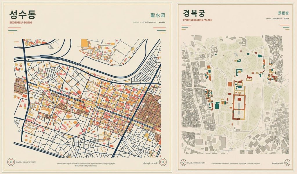
Open-source tool prettymaps is gaining a new wave of popularity across social media and design communities. The project lets users turn geographic data for any city, neighborhood, or street into stylish art posters and vector artwork in just a few clicks.
The service relies on open data from the mapping project OpenStreetMap. Users simply enter an address, geographic coordinates, or location name and set the coverage radius—the algorithm automatically identifies building outlines, park areas, bodies of water, and road networks.
Deep Customization and Style Palettes
Unlike standard map generators, prettymaps gives users full control over every graphic layer:
- Custom palette: users can separately adjust the colors of water, forests, residential areas, and background;
- Geometry adjustments: tweaking the thickness of highways, secondary roads, and pedestrian walkways;
- High-resolution export: finished illustrations can be downloaded in high quality for printing wall posters, merchandise, or postcards;
- Built-in presets: the project includes ready-to-use color schemes ranging from minimalist monochrome to vintage gradients.
Python Stack and 12,000 GitHub Stars
Created by Brazilian developer Marcelo Prates, the project first became an internet hit in 2021 after being featured on Reddit and Hacker News. Under the hood, prettymaps relies on a stack of popular Python libraries: OSMnx for parsing geodata, Matplotlib for vector rendering, and Shapely for working with polygons.
To date, the prettymaps GitHub repository has accumulated over 12,000 stars and is available for free under the AGPL v3.0 license.
You can try out the generator in several ways: via the interactive Streamlit web app, in a Google Colab notebook, or by installing the package locally via pip install prettymaps from the PyPI repository.