









Space Startup Pixxel Raises Record $100 Million for Satellites That Analyze Soil and Subsurface Composition
 ·
08.09.2026 12:14
·
2 min read
·
08.09.2026 12:14
·
2 min read
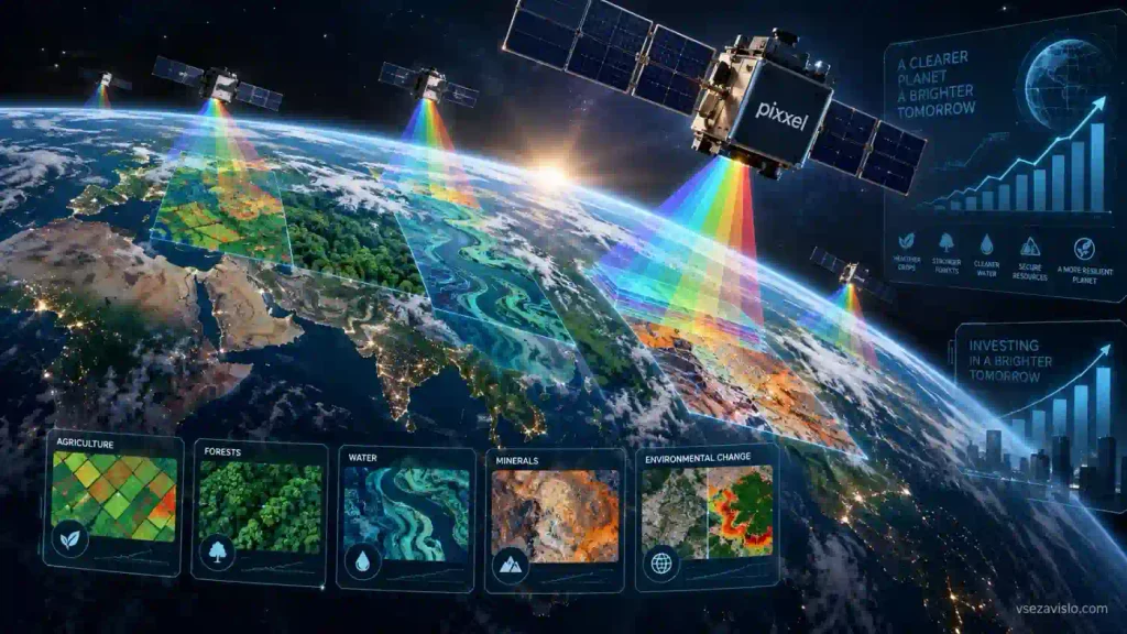
US-Indian space startup Pixxel has closed a $100 million Series C funding round. The deal marks a record for India’s private space industry, bringing the company’s total funding to $195 million. The fresh capital will go toward deploying a next-generation constellation of hyperspectral satellites, integrating all-weather radar, and expanding the Aurora cloud analytics platform.
135 spectral bands instead of standard optics
The funding round was led by Singapore’s state holding company Temasek and UK-based venture capital firm Seraphim Space. Other participants include 360 ONE Asset, IMM Investment, and Google, which backed the startup in its early stages.
Unlike standard optical satellites that capture conventional images, Pixxel’s spacecraft rely on hyperspectral imaging technology. Their cameras record reflected sunlight across 135 narrow spectral bands. The resulting data functions like a digital chemical analysis of the Earth’s surface: the satellites can distinguish rock formations of the same color, pinpoint industrial methane leaks, assess soil moisture and mineral makeup, and detect crop diseases long before leaves visibly wither.
Pixxel currently operates the Firefly constellation of six satellites in orbit. It images the Earth’s surface at a resolution of 5 meters per pixel and can revisit target locations once every 24 hours.
Cloud-penetrating radar and US intelligence contracts
According to Reuters, the primary goal of the funding is building the Honeybee satellite family, with the first launch scheduled for 2027.
The next-generation spacecraft will expand the observation spectrum:
- Sensors will capture short-wave infrared (SWIR) radiation;
- Synthetic aperture radar (SAR) payloads will allow continuous surveillance through storm clouds and at night;
- An ultra-high-resolution optical lens array will be added.
In parallel, the startup is developing its Aurora ecosystem. Instead of raw imagery, the service delivers automated analytical reports tailored for forestry, mining, and environmental monitoring.
Government agencies are already using the company’s technology: Pixxel has secured contracts with NASA and the US National Reconnaissance Office (NRO), and is also helping build a 12-satellite national constellation for the Indian government.